Maps
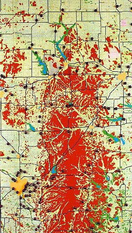
Flint Hills - grass, airports, state highways
oil paint on paper map
66" x 37"
2015
Base map is a composite created from the Delorme Atlas and Gazetteer. Grass is red, airports indicated by wooden balls.
Wichita, with aviation industry on lower left. Most are small town or ranch air strips