Maps
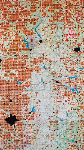
oil paint on paper map
66" x 37"
2015
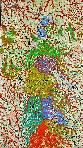
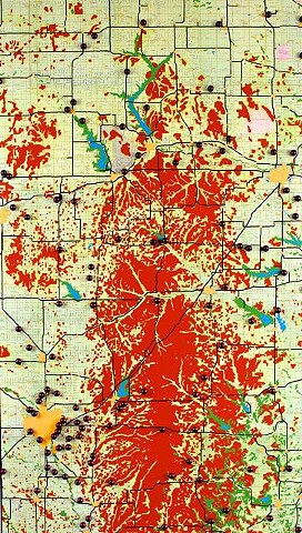
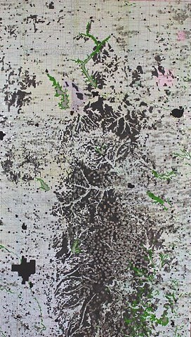
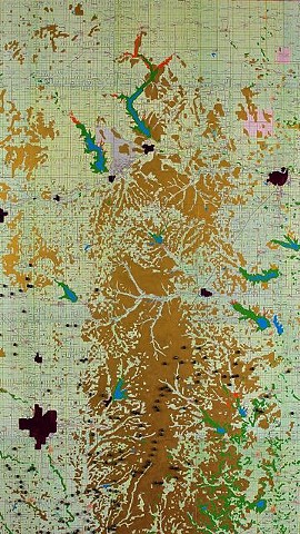
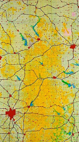
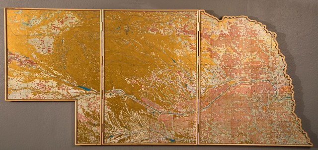
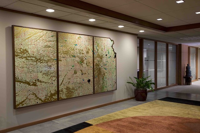
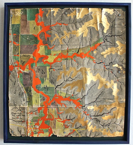
This is series of maps completed in 2015 - six of the Flint Hills (66" x 37") and one of Kansas (66" x 138, a tryptic). The base maps are constructed from pages of the Delorme Atlas and Gazetteer of Kansas. I colored or enhanced information I found on the maps, so I did no research. The maps are intended to see new connection and patterns in the land.